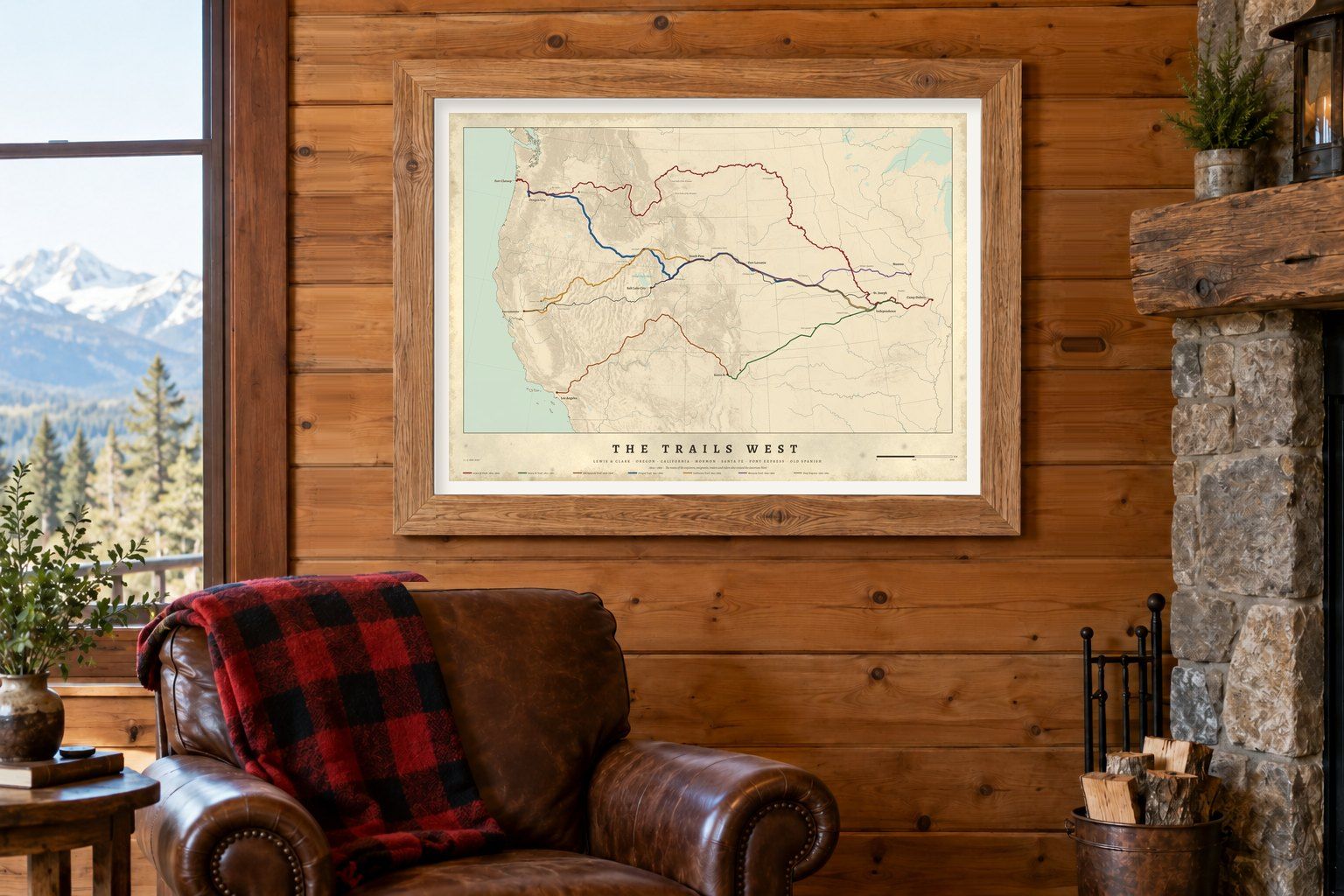
The trails west, 1804–1869: Lewis & Clark and the Oregon, California, Mormon Pioneer, Santa Fe and Pony Express trails on one relief map.
1 map · 0 available now
No. 03The Trails West1804–1869 · Coming soon
About this map
An Oregon Trail map with the other trails west
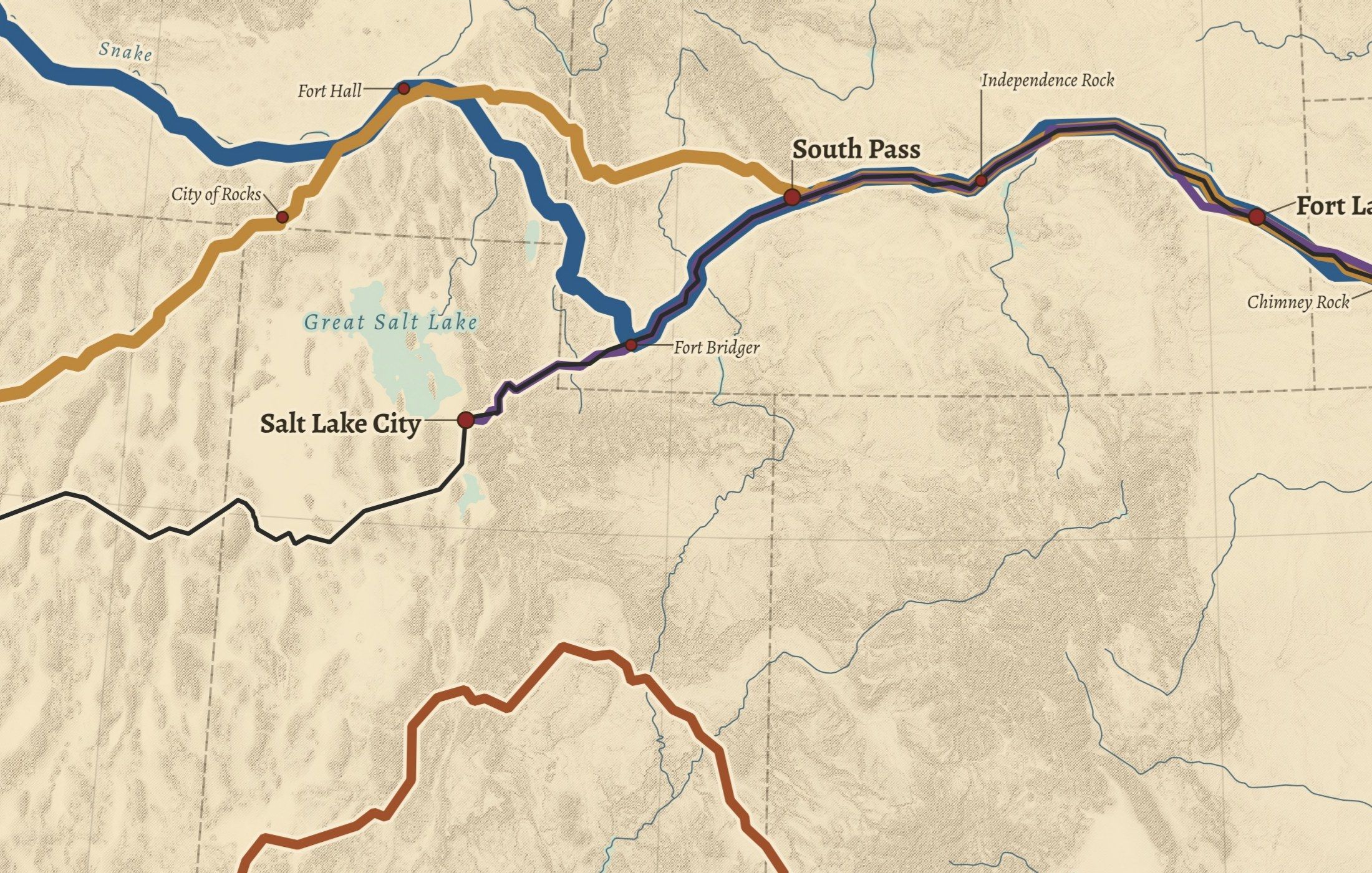
The Trails West puts the Oregon Trail in context: the Lewis & Clark route, the California, Mormon Pioneer, Santa Fe and Pony Express trails, with forts, crossings and landmarks such as South Pass, Independence Rock and Chimney Rock. Routes follow the National Park Service's National Historic Trails data over shaded relief of the plains and the Rockies.
Questions about these maps
Where did the Oregon and California trails split?+−
The two trails shared a route across the plains and through South Pass; the map shows where the California Trail turns south-west towards the Sierra Nevada while the Oregon Trail continues north-west towards the Columbia.
How are the prints made and shipped?+−
Each print is made to order by our partner Gelato at a printer near the delivery address, in the United States or in Europe, on archival matte paper. Framed prints arrive ready to hang. Production takes 2–5 business days; the delivery estimate for your address is shown at checkout.
Printed near you Made to order by our partner Gelato in the US and Europe
Archival paper Museum-quality matte stock, framed or unframed
Sources credited Every dataset and licence named with the print
Drawn from data Not AI-generated maps, not reproductions