Our story
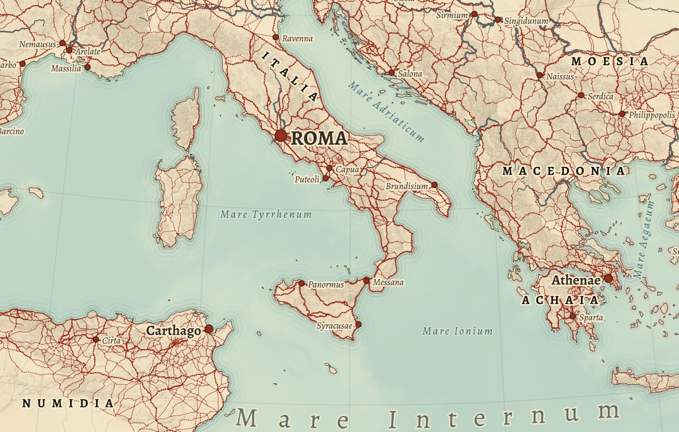
Cartouche Maps makes historical maps from research data. Every road, trail, battle and place comes from a published dataset, and every map is set in the style of a 19th-century atlas: hachured mountains, Latin or period names, careful type.
They are not AI-generated maps and not reproductions of old ones. Each sheet is drawn new, checked against its sources, and credited in full.
Cartouche Maps is run by Thomas van der Bruggen Holding B.V. in the Netherlands. Prints are made to order by our production partner Gelato, close to where they are delivered, in the United States and in Europe.
Questions, a custom size, a map you would like to see? Write to info@cartouchemaps.com.