America
Maps of American history, from the War of Independence to the present day: the trails west, the Civil War in four sheets, the Revolution and every president, each drawn from published records.
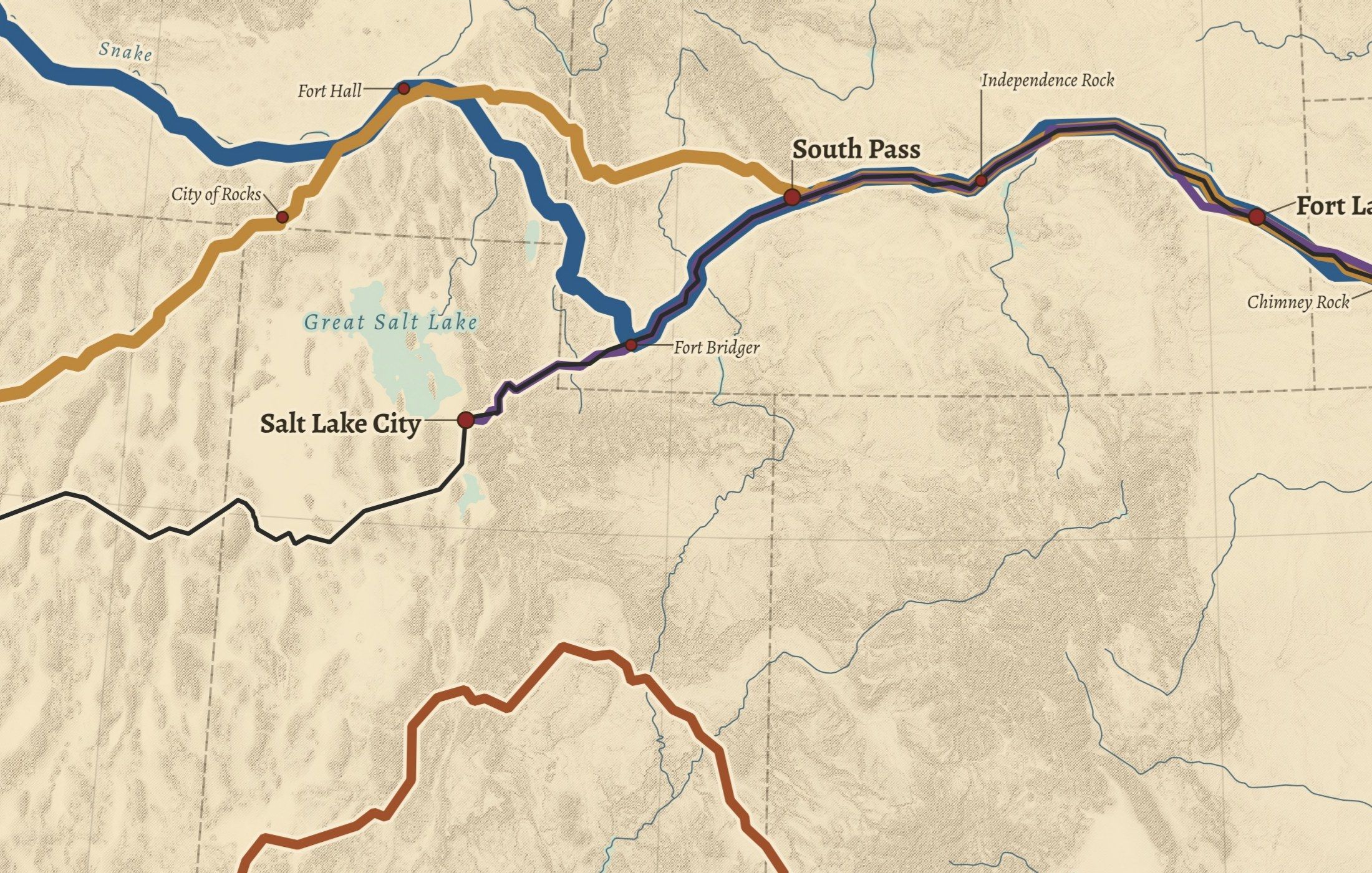
- No. 03The Trails West

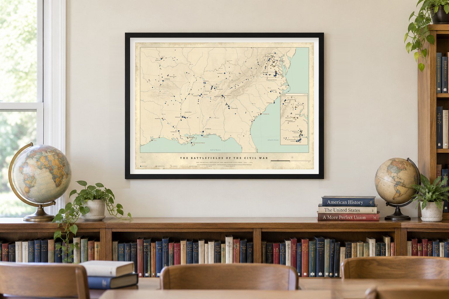
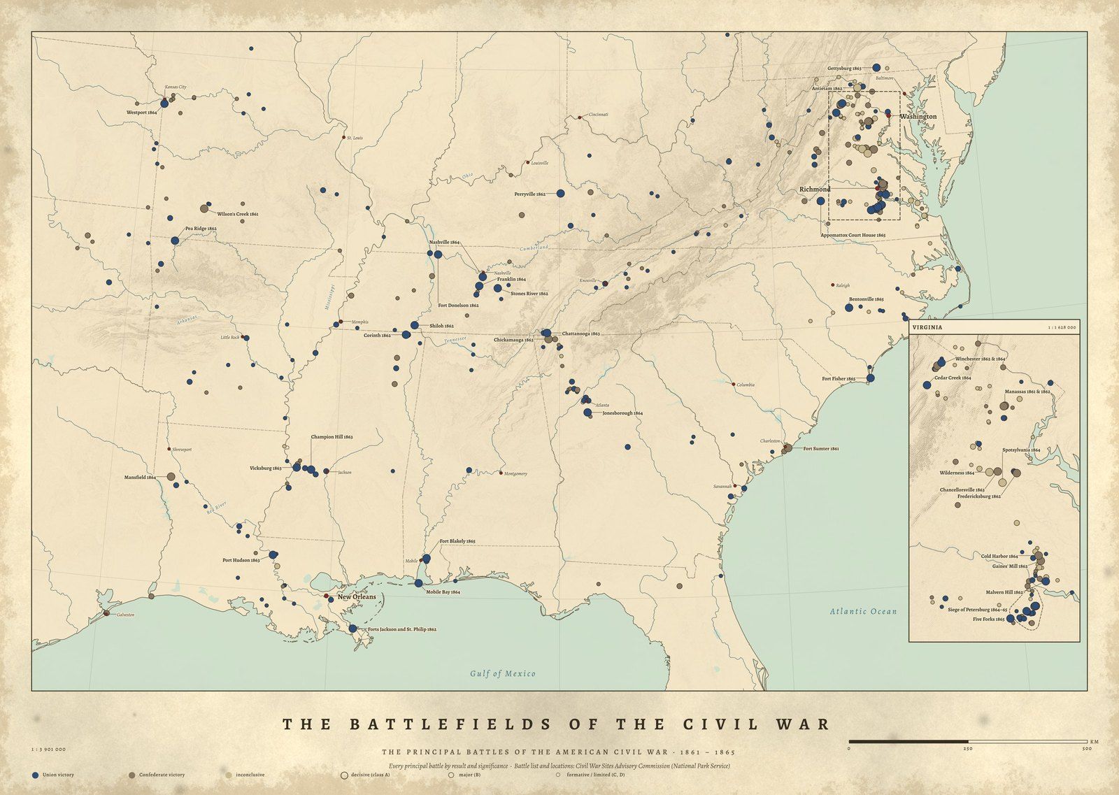
- No. 08The Battlefields of the Civil War
- E PLURIBUS UNUMThe Presidents

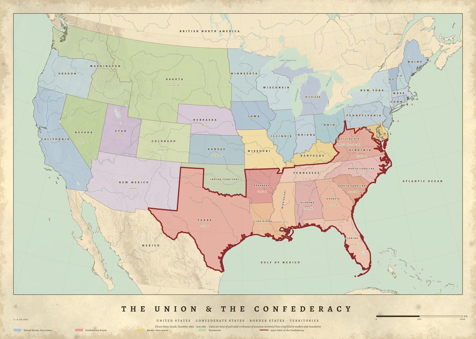
- No. 09The Union & the Confederacy

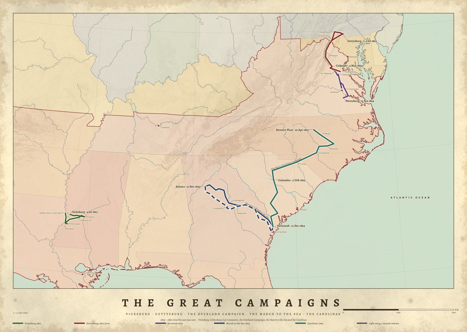
- No. 11The Great Campaigns

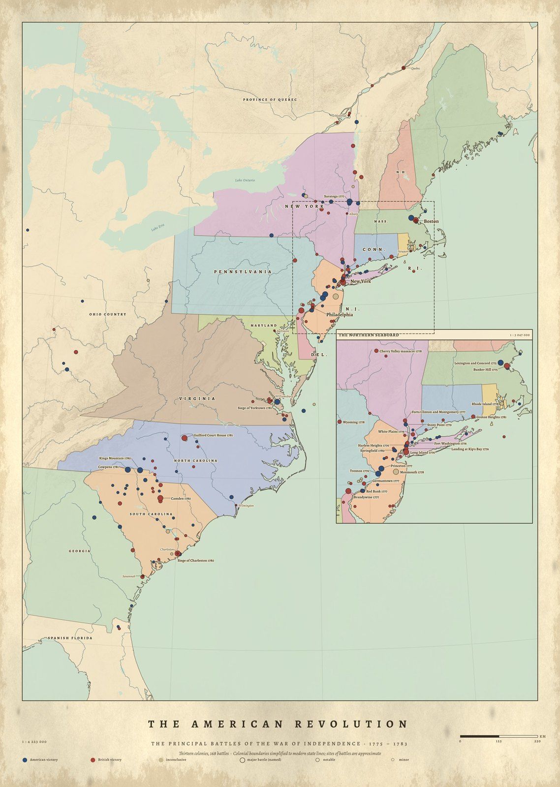
- No. 10The American Revolution

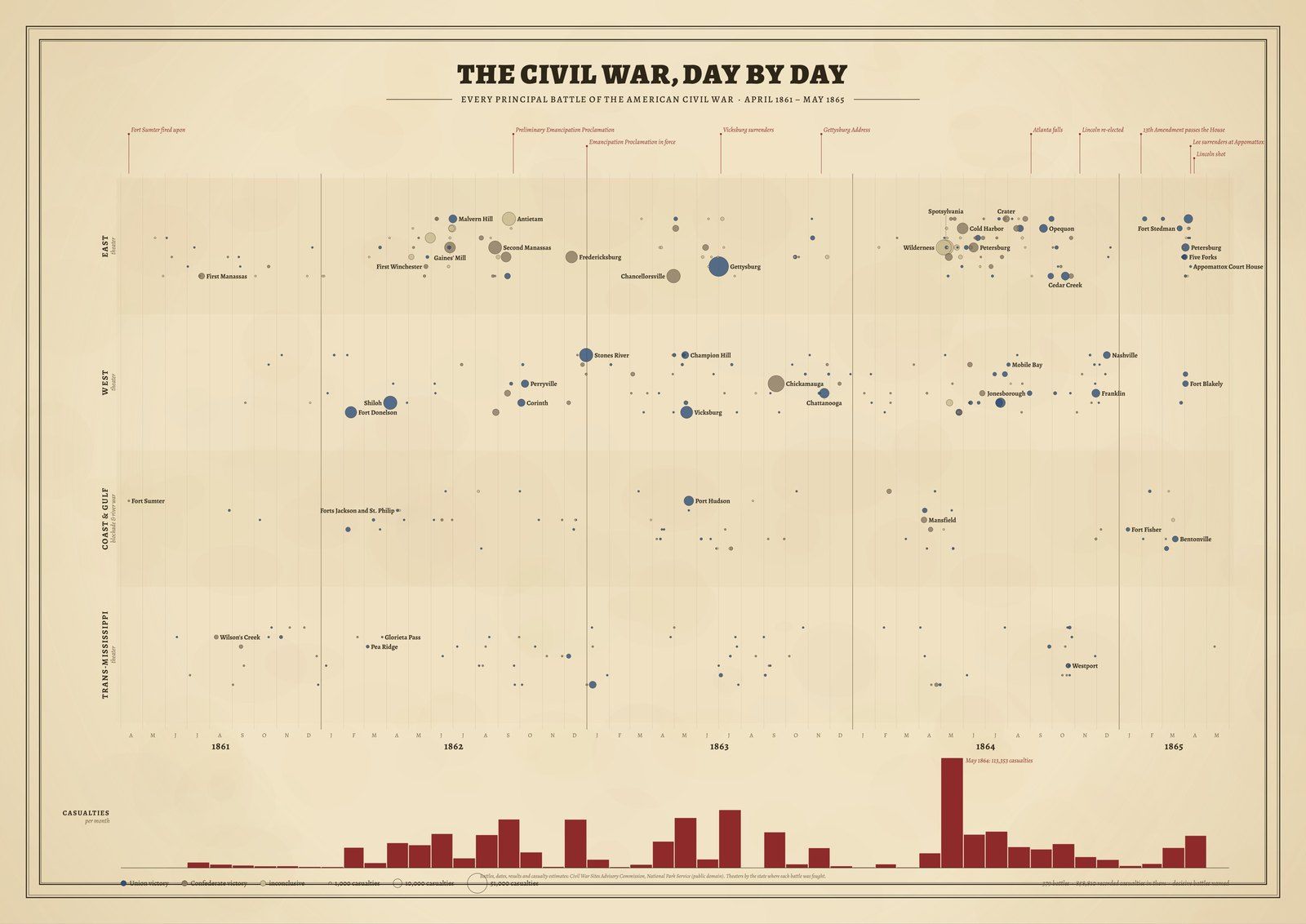
- No. 12The Civil War, Day by Day


Historical maps of America, drawn from the record
Gallery II follows American history across two and a half centuries. The American Revolution places the battles of the War of Independence across the thirteen colonies, 1775–1783. The Trails West follows Lewis & Clark and the Oregon, California, Mormon Pioneer, Santa Fe and Pony Express trails, 1804–1869. The Presidents sets every holder of the office, from Washington to today, on one sheet.
Four maps cover the Civil War. The Battlefields of the Civil War places each principal battle listed by the Civil War Sites Advisory Commission. The Union & the Confederacy shows the country as it divided in 1860–61, with each state's date of secession. The Great Campaigns traces the war's campaigns across the land, and The Civil War, Day by Day sets 379 dated battles on a single timeline.
Each map is drawn from published data: National Park Service records, USGS place names, Natural Earth coastlines and rivers, and Copernicus satellite elevation for the relief. Every source is credited on the product page.
