The Ancient World
Maps and plates of the Roman world: every known Roman road, the empire and its provinces, the Holy Land in the time of Jesus, sixteen famous coins and the family trees of three imperial dynasties. Each one is drawn from published research data.
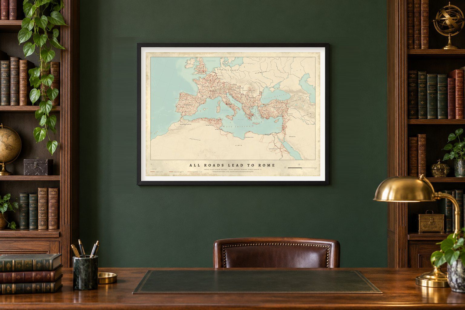
- OMNES VIAE ROMAM DVCVNTAll Roads Lead to Rome
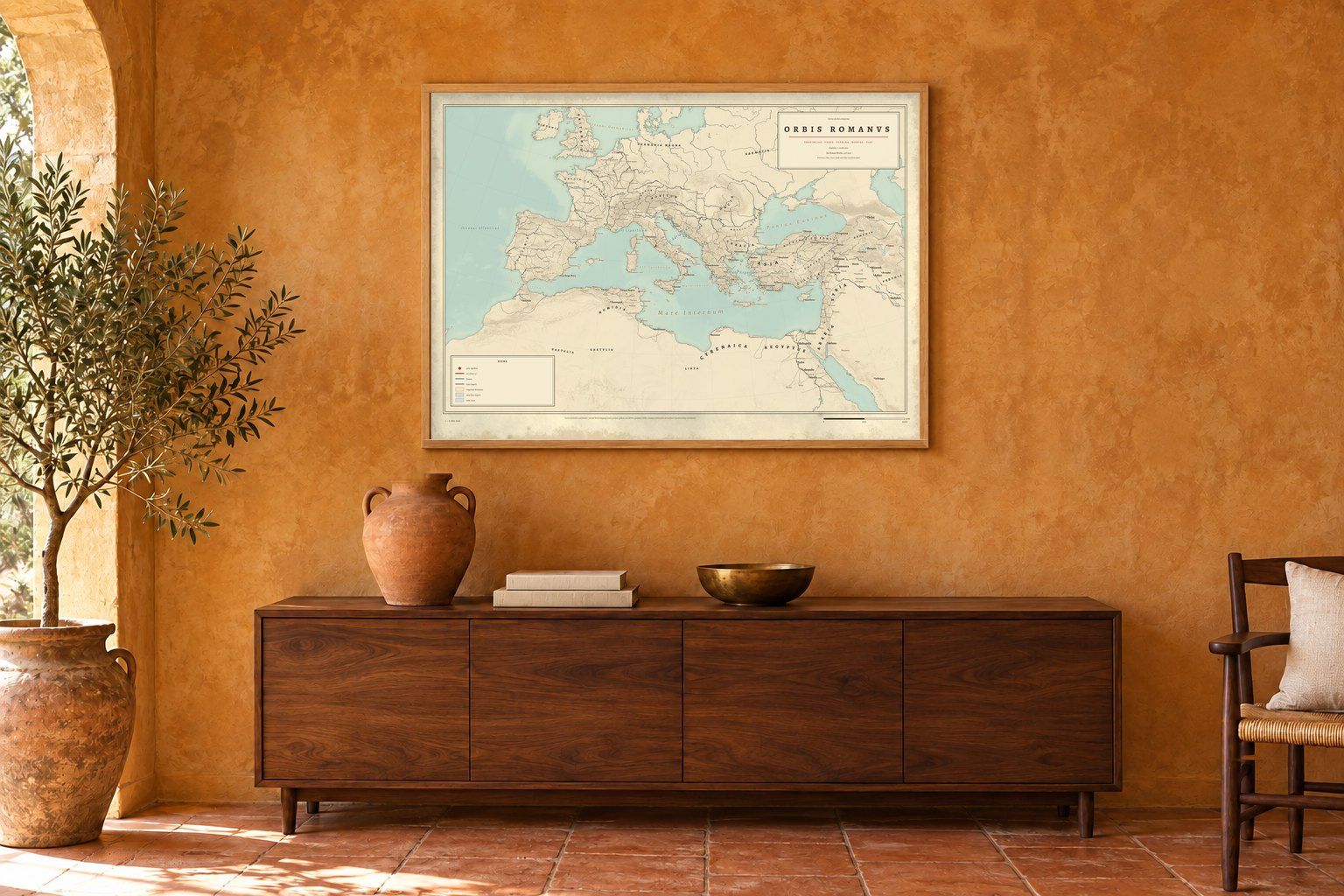
- ORBIS ROMANVSOrbis Romanus
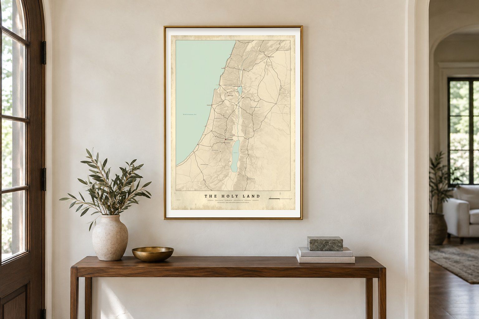
- IVDAEAThe Holy Land in the Time of Jesus
- DOMVS AVGVSTAThe Julio-Claudians

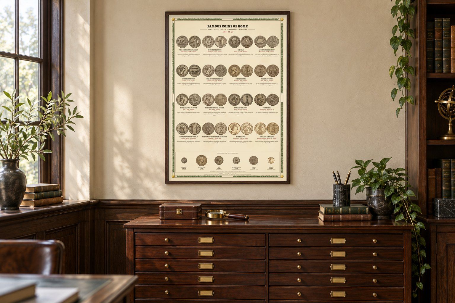
- NVMMI ROMANIFamous Coins of Rome
- DOMVS FLAVIAThe Flavians
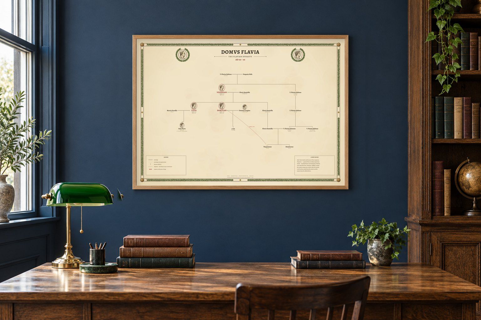
- DOMVS CONSTANTINIANAThe House of Constantine

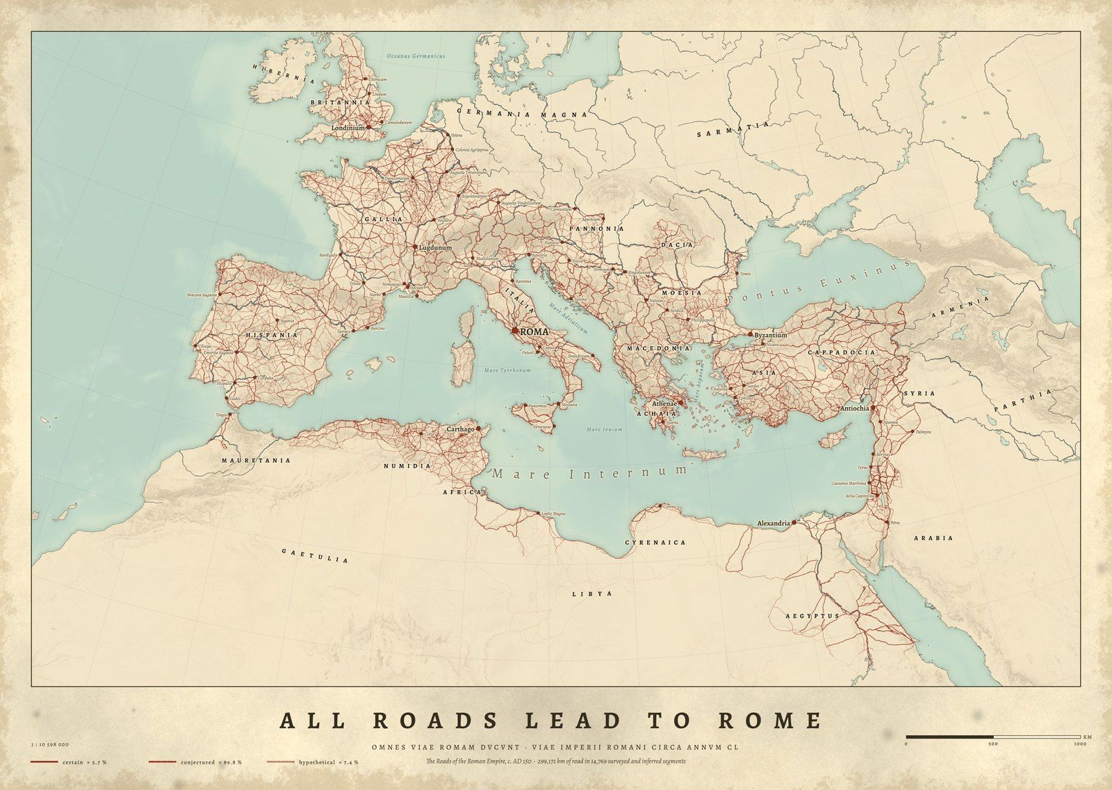
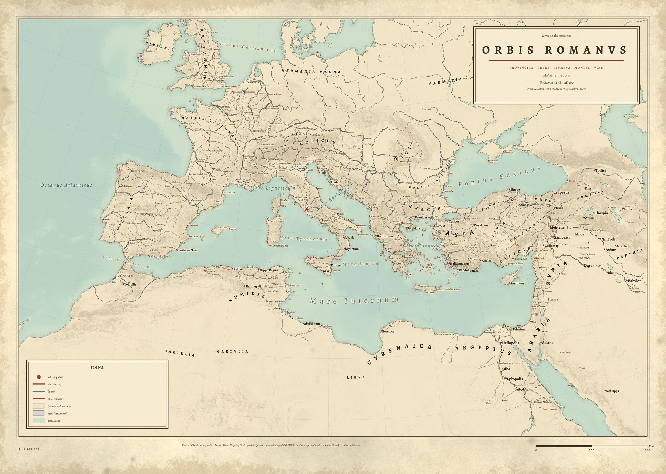
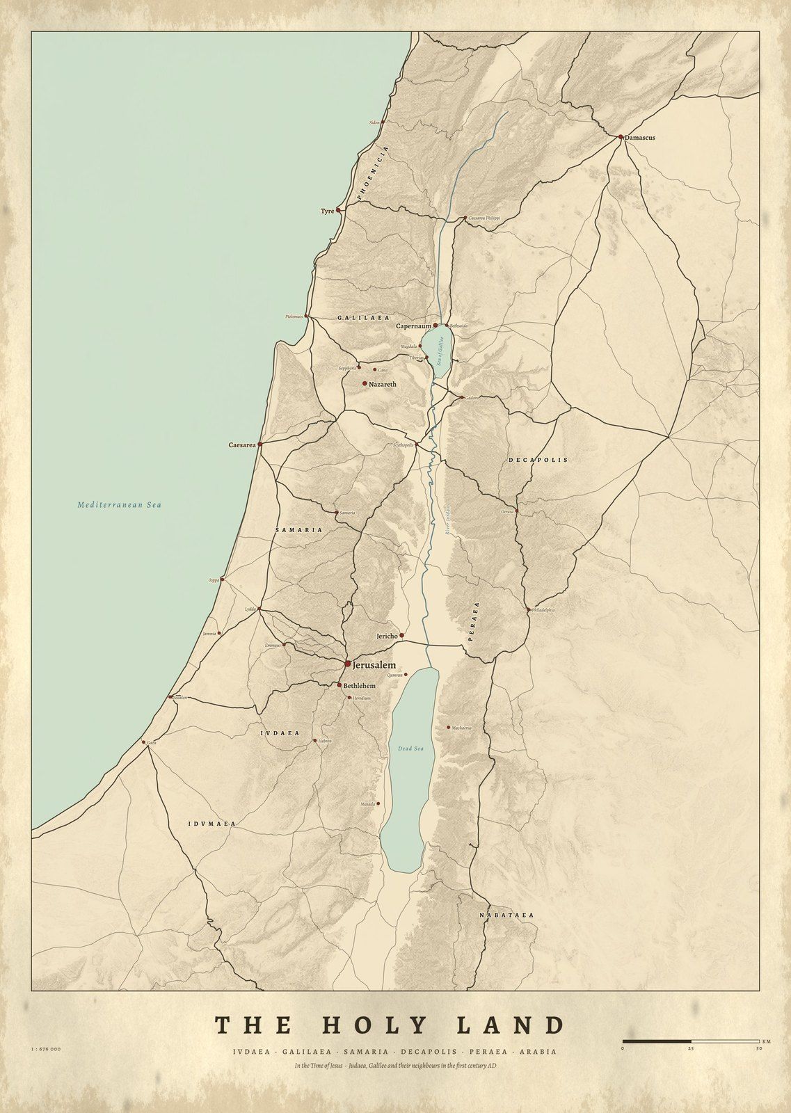
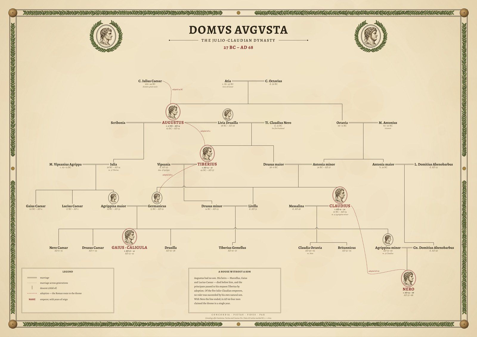
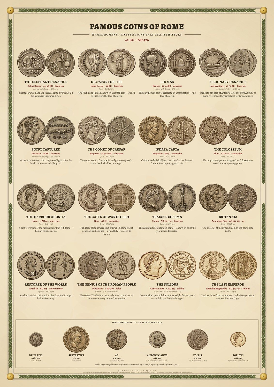
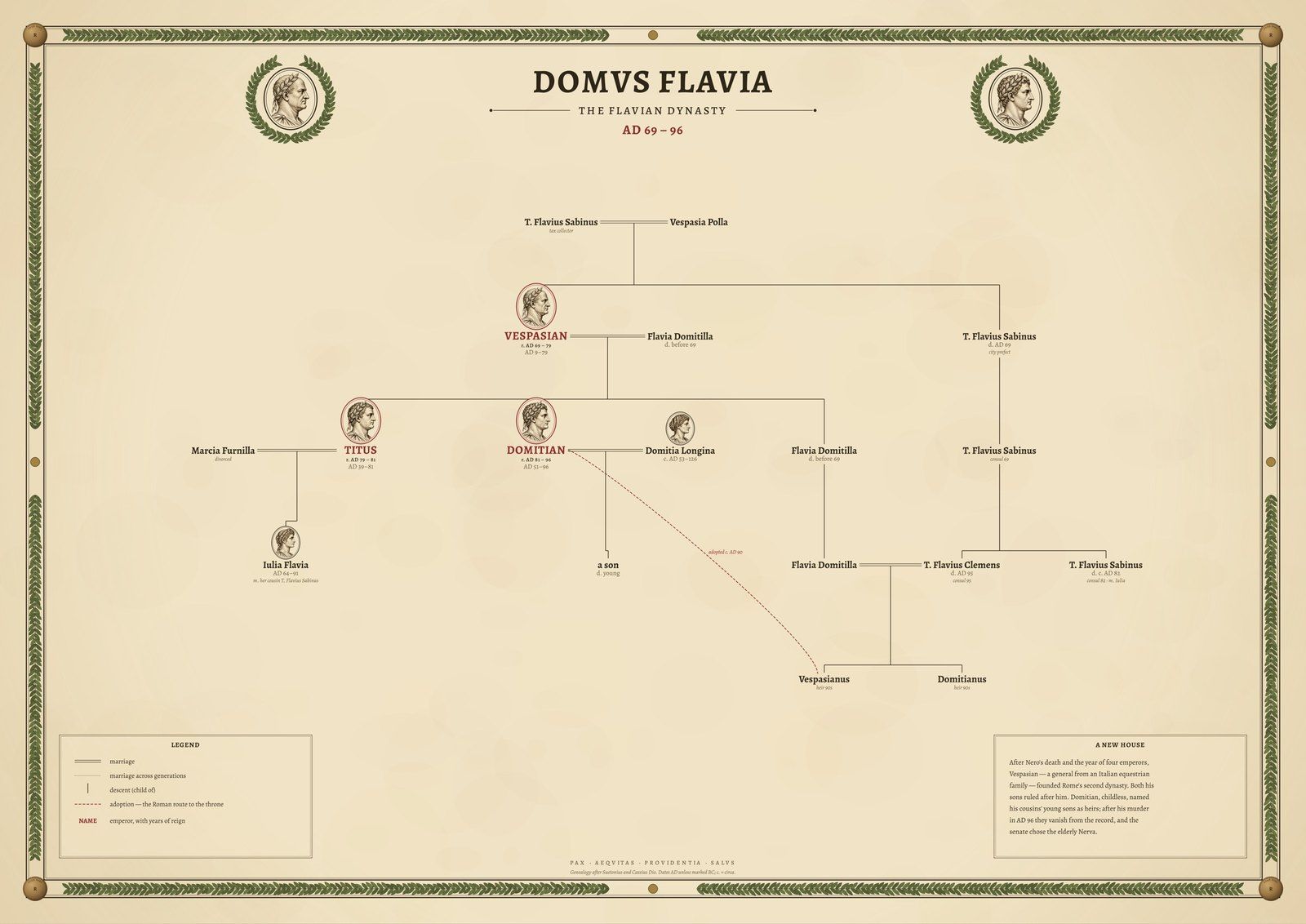
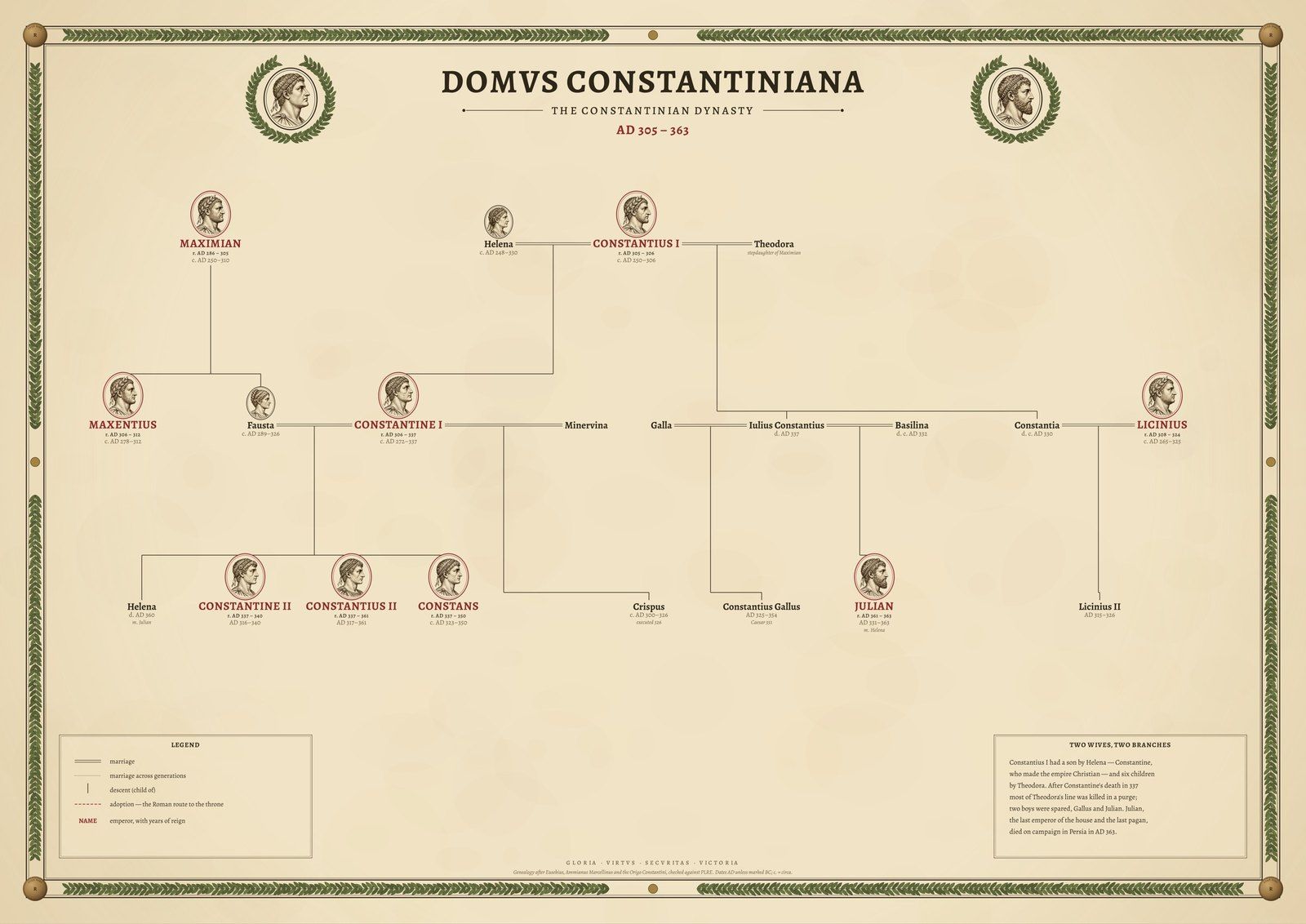
Roman Empire map posters, drawn from research data
All Roads Lead to Rome maps the 299,171 km of road the Itiner-e project has identified for the empire around AD 150, every segment graded by how certain historians are of it. Orbis Romanus sets the whole empire on one atlas sheet with its provinces, frontier and Latin place names.
The Holy Land in the Time of Jesus shows Judaea, Samaria and Galilee with the towns of the Gospels and the Roman roads between them. Famous Coins of Rome engraves sixteen coins as plates in a numismatic catalogue, and three family trees follow the Julio-Claudian, Flavian and Constantinian dynasties, every link checked against Wikidata.
Place names come from the Pleiades gazetteer, coastlines and rivers from Natural Earth and the relief from Copernicus satellite elevation. Every source is credited on the product page.
