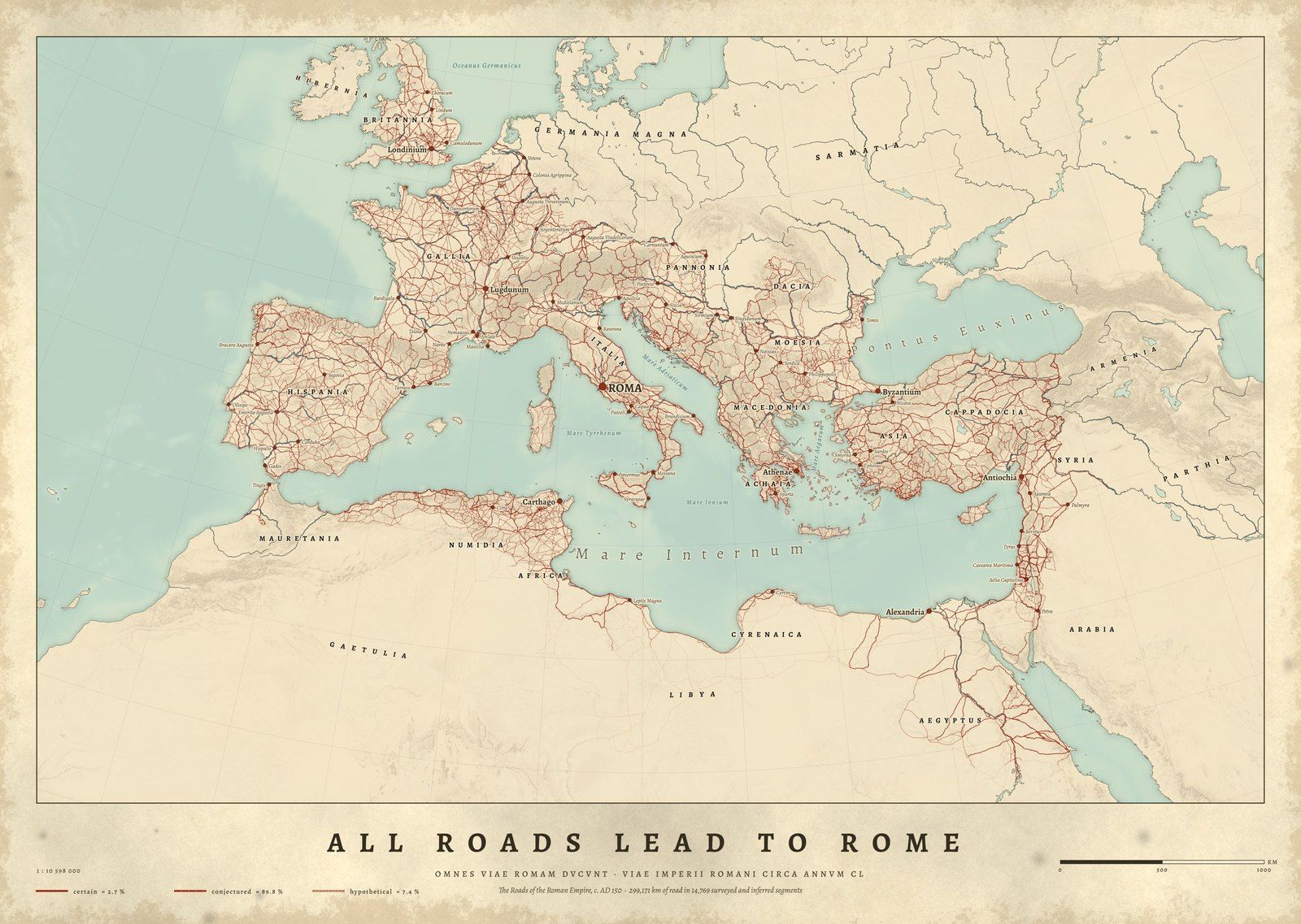
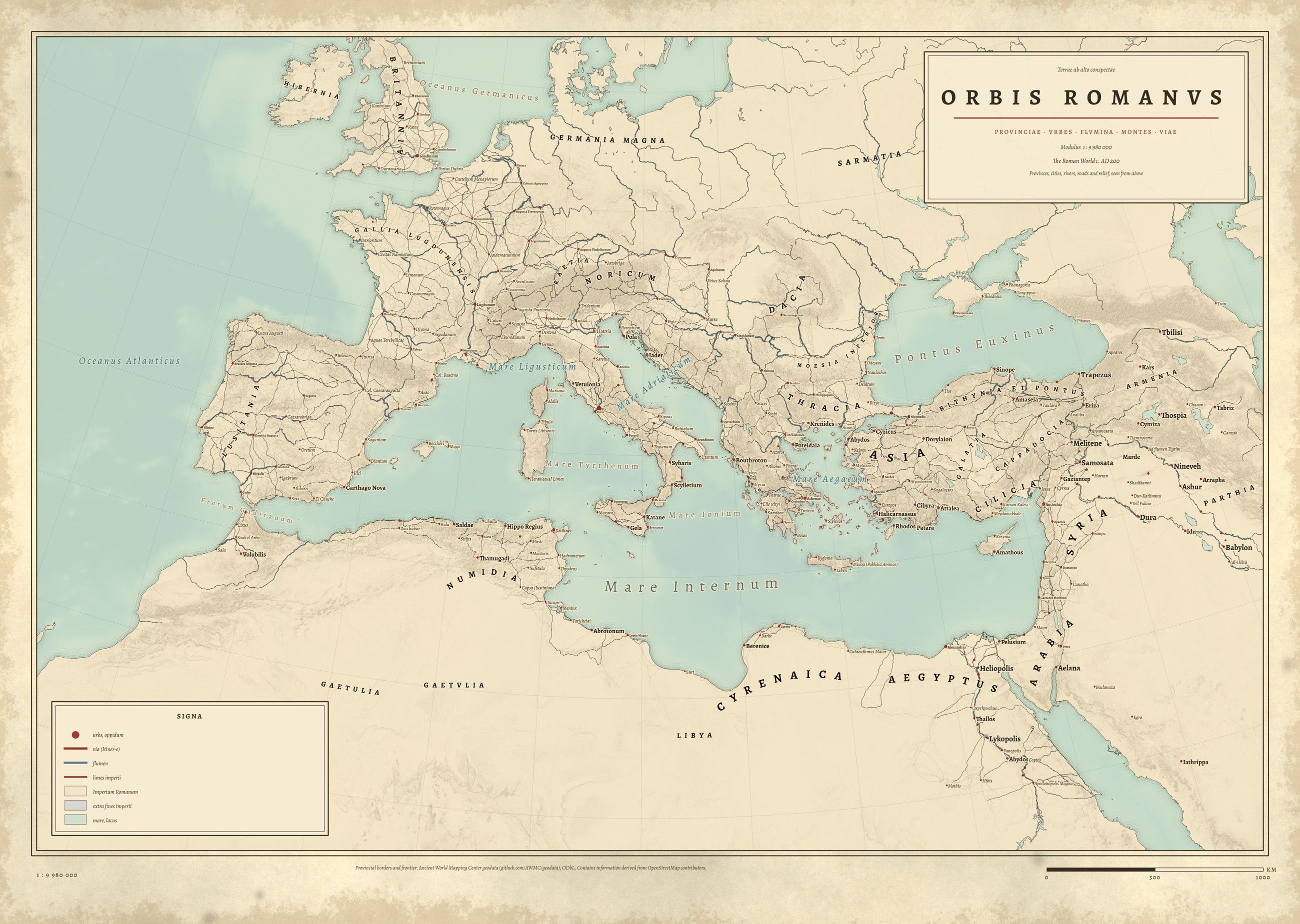
ORBIS ROMANVSOrbis RomanusThe Roman Empire and its provinces · Coming soon
About these maps
A map of the Roman Empire at its height
Around AD 150 the Roman Empire reached from Britannia to Aegyptus. All Roads Lead to Rome maps its 299,171 km of road from the Itiner-e dataset; Orbis Romanus adds the provinces and the frontier from the Ancient World Mapping Center.
Both maps carry Latin place names from the Pleiades gazetteer and relief shaded from satellite elevation, engraved in the manner of an 1889 atlas.
Questions about these maps
How many miles of road did the Romans build?+−
The Itiner-e dataset (2025) counts 299,171 km of Roman road around AD 150, about 186,000 miles, far more than the 80,000 km often quoted for paved main roads. Most of it is conjectured from evidence rather than excavated.
Are these reproductions of old maps?+−
No. Each map is drawn new from research data (road and trail surveys, battle records, gazetteers and satellite elevation) and engraved in the manner of an 1889 atlas. Nothing is copied from an old map, and nothing on it is invented.
Printed near you Made to order by our partner Gelato in the US and Europe
Archival paper Museum-quality matte stock, framed or unframed
Sources credited Every dataset and licence named with the print
Drawn from data Not AI-generated maps, not reproductions