Skip to content
Printed to order in the US & Europe · Framed or unframed · Every source credited
CARTOUCHE
18 × 24 inSofa 200 cm wide

Room photograph illustrative and AI-generated; the print in the frame is our real map.

1 / 3 · On the wall
OMNES VIAE ROMAM DVCVNTNo. 01

All Roads Lead to Rome

The Roman Empire, c. AD 150

Every known Roman road around AD 150, all 299,171 km of it, drawn from research data in the manner of an 1889 atlas.

€45Prices include VAT
Size
Frame · Unframed
1

Printed to order by Gelato near you, in the US or Europe · archival matte paper · Sizes in centimetres; inches in the size guide. Made in 2–5 business days; delivery estimate at checkout.

About this map+

The roads of the Roman Empire around AD 150, at the height of its reach: 299,171 km of road in 14,769 surveyed and inferred segments, from Britannia to Aegyptus.

The legend sorts every road by how sure historians are of it: certain (about 2.7% of the length), conjectured (about 89.8%) and hypothetical (about 7.4%). Places carry their Latin names from the Pleiades gazetteer, and the relief is shaded from satellite elevation.

Sizes, paper & frames+
SizesA2 · 42 × 59.4 cm · A1 · 59.4 × 84.1 cm · A0 · 84.1 × 118.9 cm
PaperArchival matte paper, printed to order
FramesUnframed · Black · White · Natural wood · Dark wood · framed prints arrive ready to hang
Size guideAll sizes in cm and inches
Data sources & credits+
  • Roads: de Soto, P. et al. (2025) A High-Resolution Dataset of Roads of the Roman Empire: Itiner-e static version 2024. Zenodo, DOI 10.5281/zenodo.17122148, CC BY 4.0.
  • Places: Pleiades, Ancient World Mapping Center & Institute for the Study of the Ancient World, CC BY 3.0.
  • Coasts, rivers and boundaries: Natural Earth (public domain).
  • Relief: Copernicus DEM GLO-90, © DLR e.V. 2010–2014 and © Airbus Defence and Space GmbH 2014–2018 provided under COPERNICUS by the European Union and ESA; all rights reserved.

How this map was made · Found an error?

Printing & shipping by Gelato+

Each print is made to order by our production partner Gelato at a printer near you, in the US or Europe, on archival matte paper. Framed prints arrive ready to hang, in black, white, natural or dark wood.

Production takes 2–5 business days. Shipping cost and the delivery estimate for your address are shown at checkout. Damaged or misprinted prints are replaced free of charge. Shipping · Returns

About the images+

Room photographs are illustrative and AI-generated; the print inside the frame is our real map. The flat image and the close-up show the print exactly as it is made.

Look closer

14,769 road segments, each one sourced

The road network comes from Itiner-e, the 2025 research dataset of Roman roads. Place names follow the Pleiades gazetteer, and the mountains are shaded from Copernicus satellite elevation.

How this map was made

Pairs well with

The Ancient World
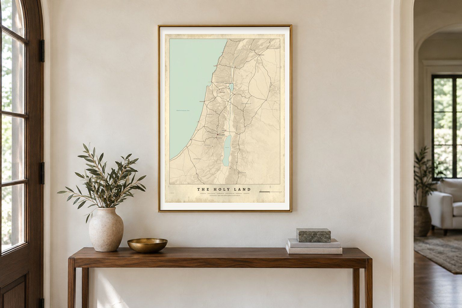
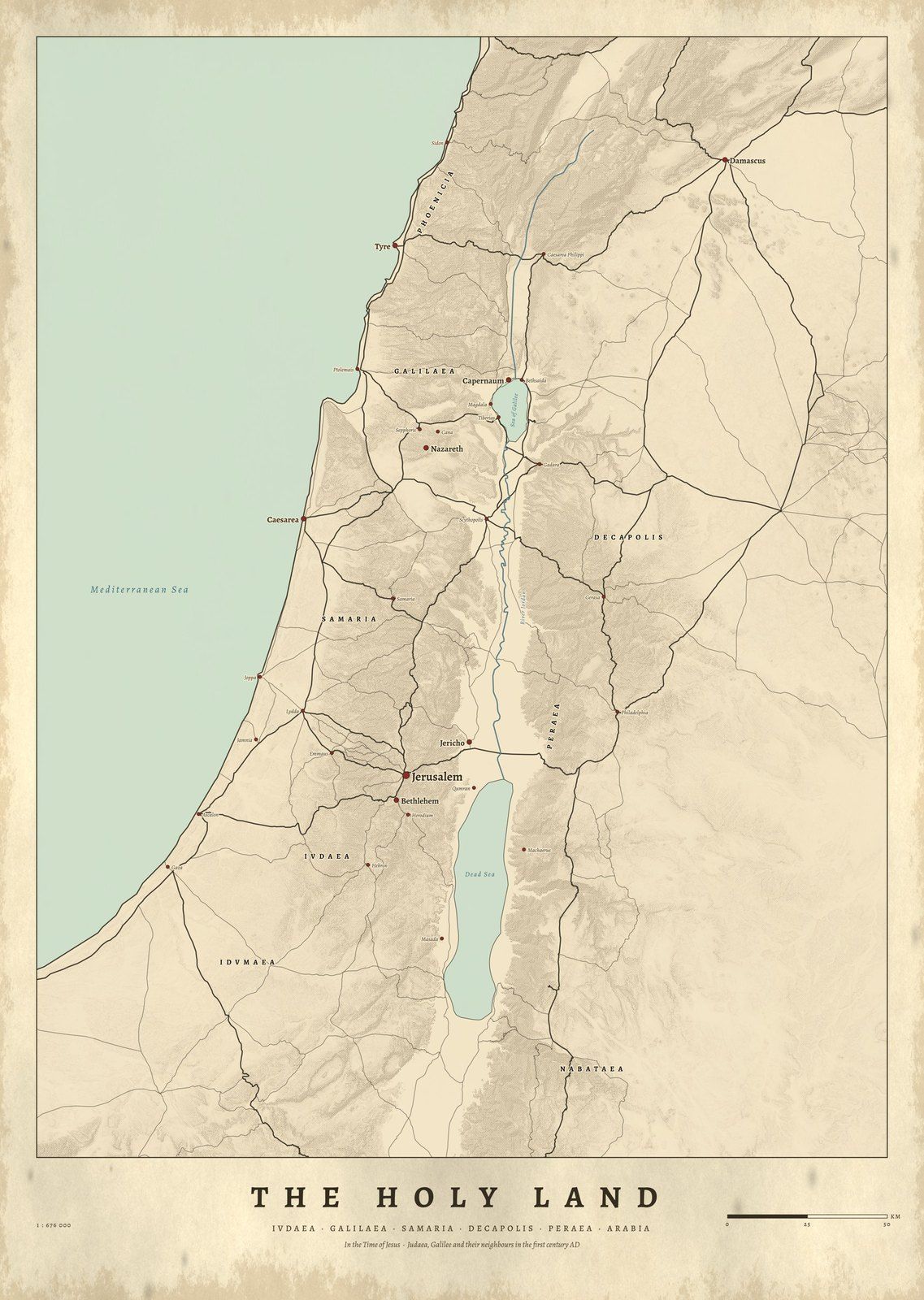
The Holy Land in the Time of Jesus map in a gilt frame above a console table in a hall
IVDAEAThe Holy Land in the Time of JesusJudaea, Samaria and Galilee, c. AD 30 · Coming soon
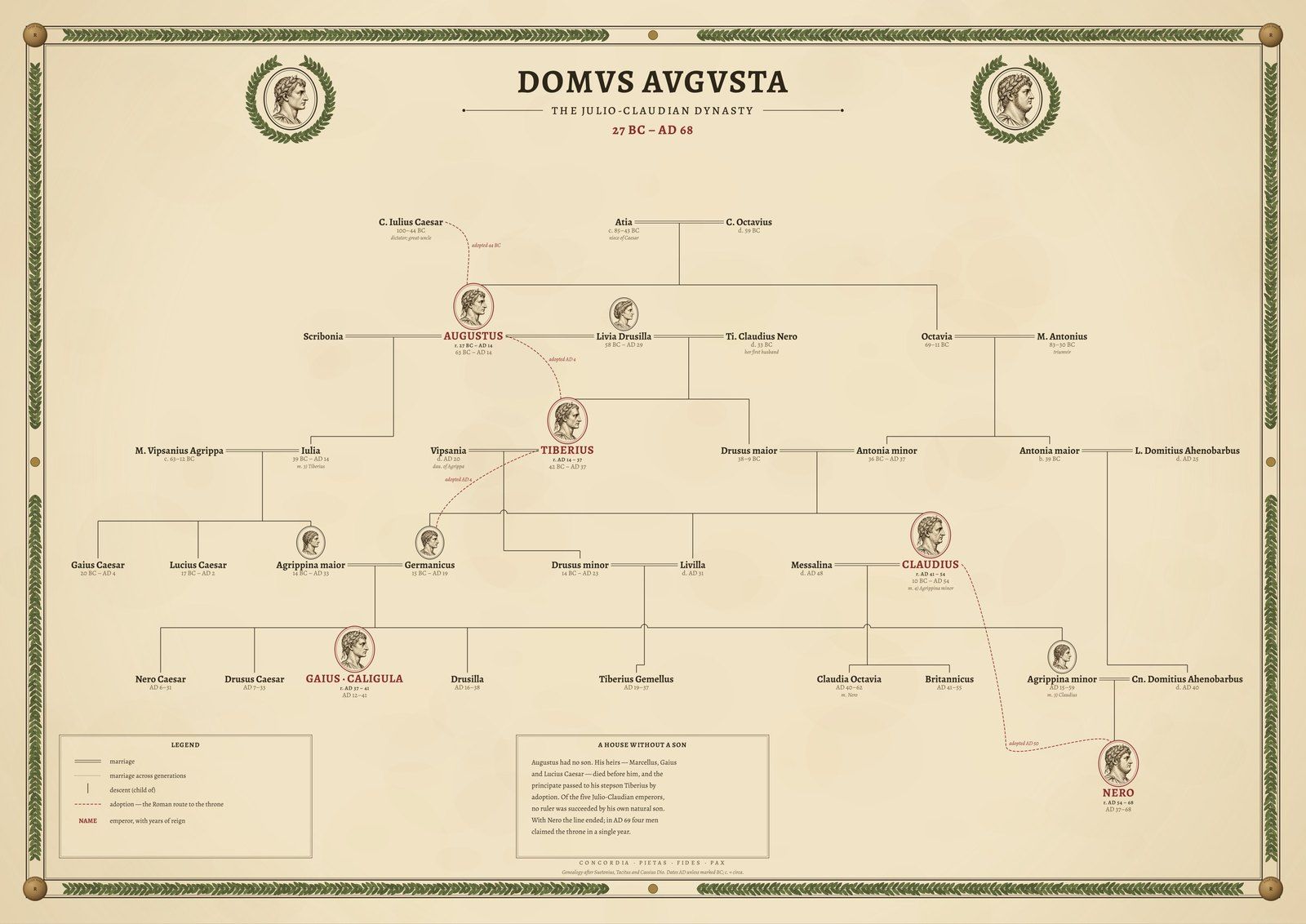
The Julio-Claudian family tree framed in black in a quiet stone-grey gallery room
DOMVS AVGVSTAThe Julio-ClaudiansFamily tree, 27 BC – AD 68 · Coming soon
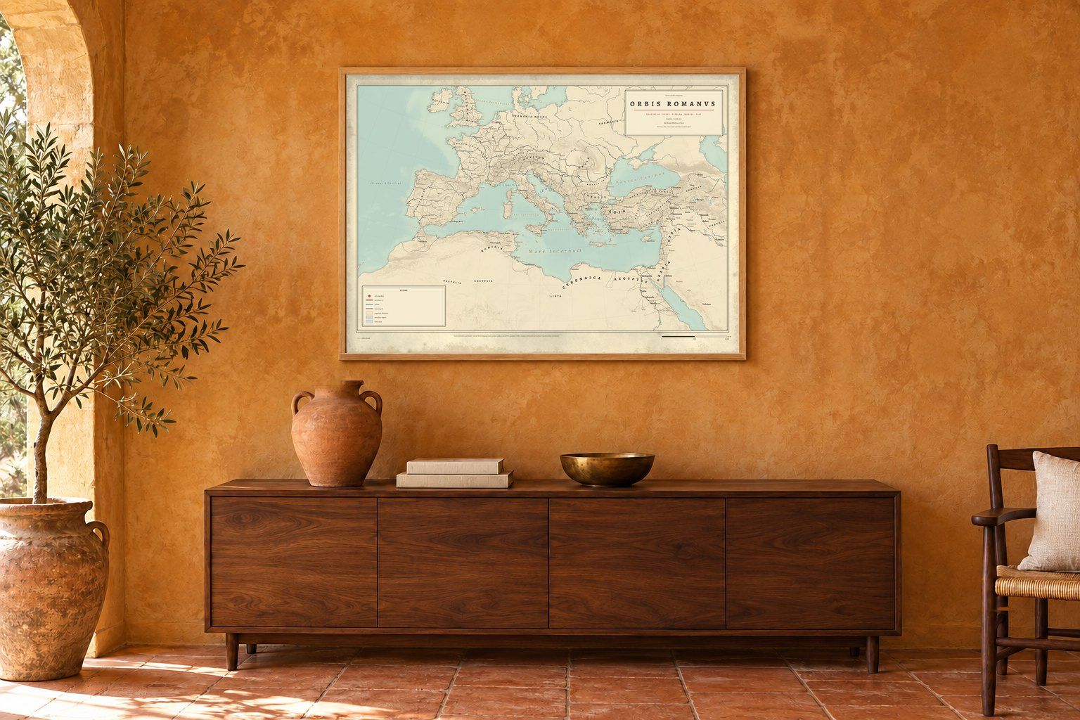
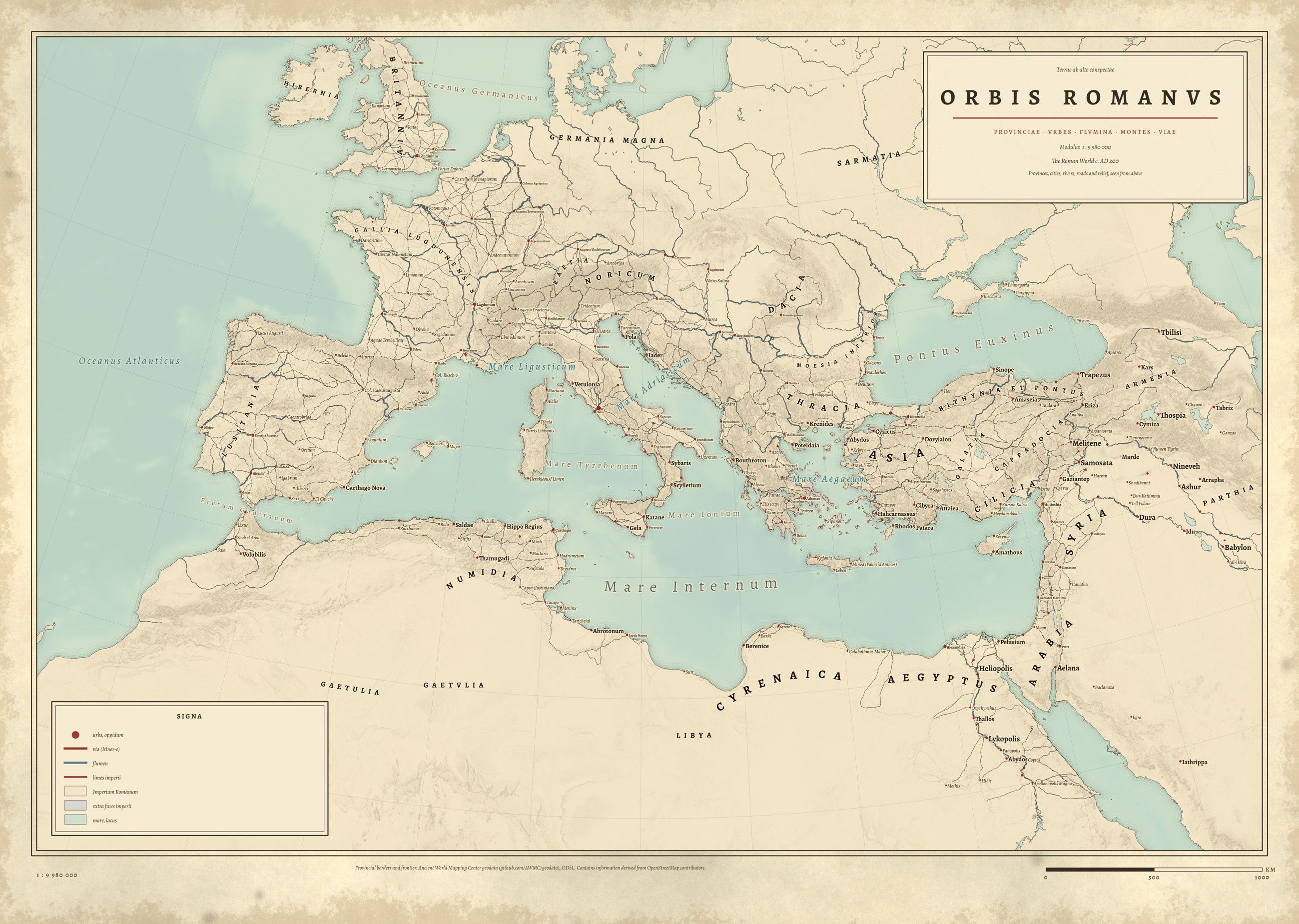
Orbis Romanus: map of the Roman Empire with its provinces and roads, full print
ORBIS ROMANVSOrbis RomanusThe Roman Empire and its provinces · Coming soon
Product safety · EU GPSR

Paper print or framed print for indoor wall display. Keep framed prints away from moisture; hang securely.

Manufacturer
Gelato, Dronning Eufemias gate 8, 0191 Oslo, Norway · support@gelato.com

Seller · EU responsible person
Thomas van der Bruggen Holding B.V. · Vermeerstraat 2a, 5301 VE Zaltbommel, the Netherlands · info@cartouchemaps.com

Cartouche Maps seal: Cartouche Maps, drawn from data