Made from data, not imagined
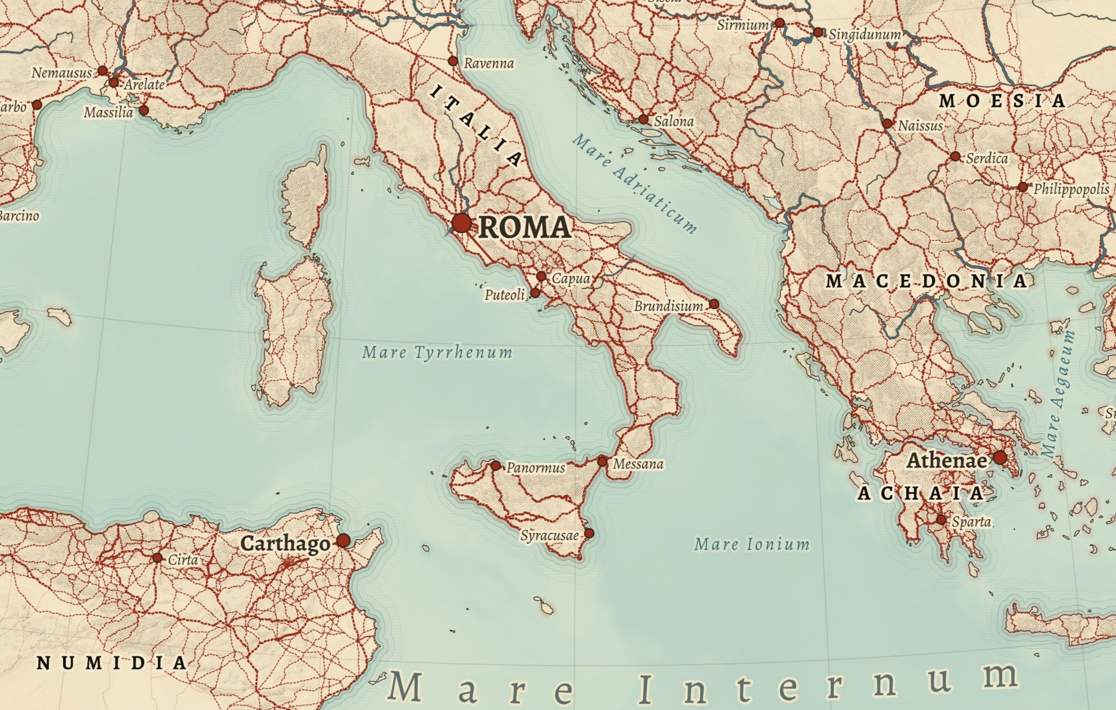
The data
Every line on a Cartouche map comes from a published dataset: Roman roads from Itiner-e, ancient places from Pleiades, American trails and battlefields from the National Park Service, people and dates from Wikidata.
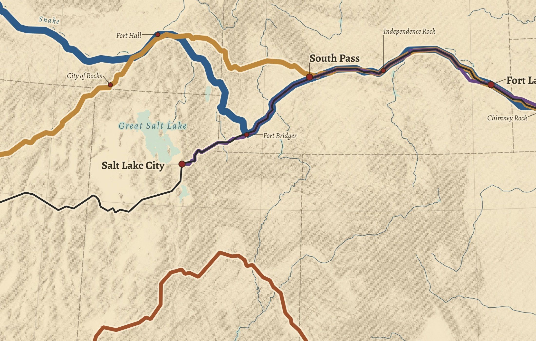
The land
Mountains are shaded and hachured from Copernicus satellite elevation; coastlines, rivers and lakes come from Natural Earth. The relief is computed, not drawn by hand.
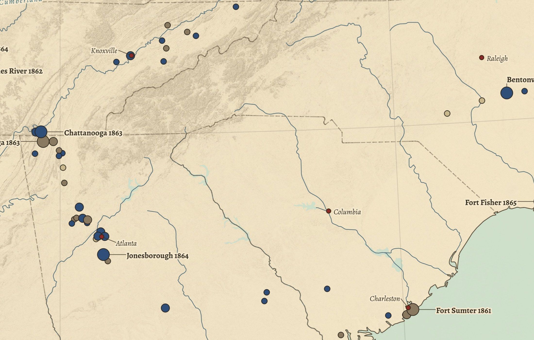
The engraving
Labels are placed by hand where they read best, in the colours and type of a late-19th-century atlas. Then each map is checked against its sources before it goes to print.
Sources and licences
- Itiner-e: A High-Resolution Dataset of Roads of the Roman Empire (static version 2024)
- Pleiades gazetteer of ancient places
- Natural Earth
- Copernicus DEM GLO-90
- National Park Service, National Trails Office
- Civil War Sites Advisory Commission battle survey (American Battlefield Protection Program)
- Geographic Names Information System (GNIS)
- Wikidata
- AWMC geodata (provinces and frontier)
Credits for each map
NO. 01 · All Roads Lead to Rome
View this mapNO. 02 · The Holy Land in the Time of Jesus
NO. 03 · The Trails West
NO. 04 · Famous Coins of Rome
NO. 05 · The Julio-Claudians
NO. 06 · The Flavians
NO. 07 · The House of Constantine
NO. 08 · The Battlefields of the Civil War
NO. 09 · The Union & the Confederacy
NO. 10 · The American Revolution
NO. 11 · The Great Campaigns
NO. 12 · The Civil War, Day by Day
NO. 13 · The Presidents
NO. 14 · Orbis Romanus
Accuracy and corrections
Our maps are as accurate as the data behind them, and we show its limits rather than hide them. If you find an error, a misplaced battle, a wrong name or a figure that does not match its source, write to info@cartouchemaps.com. We check it against the source, correct the map file for future prints and note the change here.
