Skip to content
Printed to order in the US & Europe · Framed or unframed · Every source credited
CARTOUCHE
Gallery I

The Ancient World

Maps and plates of the Roman world: every known Roman road, the empire and its provinces, the Holy Land in the time of Jesus, sixteen famous coins and the family trees of three imperial dynasties. Each one is drawn from published research data.
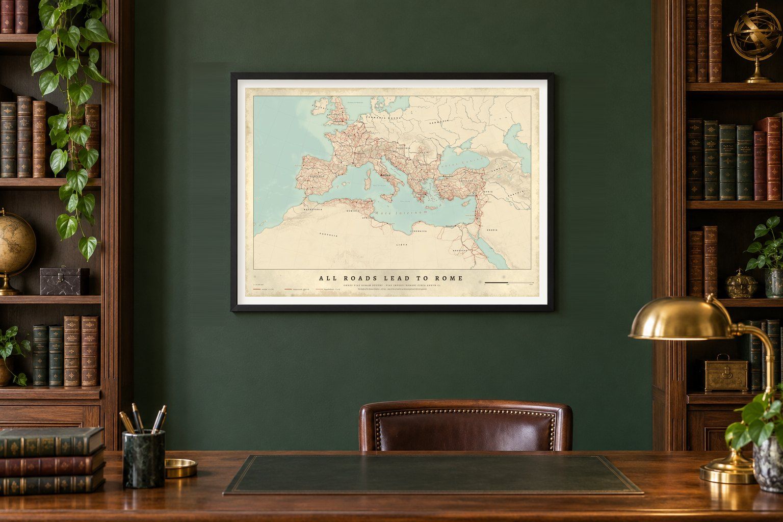
All Roads Lead to Rome map poster framed in black above a walnut desk in a green study
7 maps · 1 available now
Collection
  • All Roads Lead to Rome map poster framed in black above a walnut desk in a green study
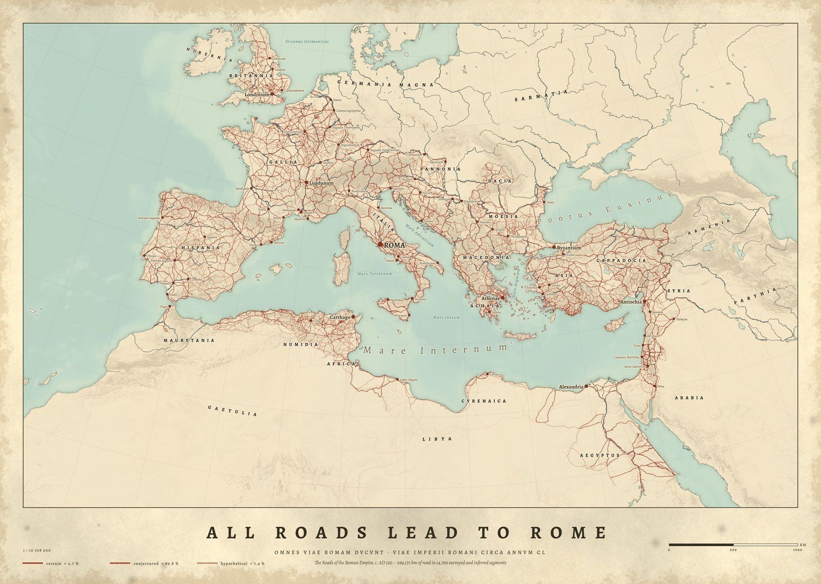
    OMNES VIAE ROMAM DVCVNTAll Roads Lead to RomeThe Roman Empire, c. AD 150 · from €45
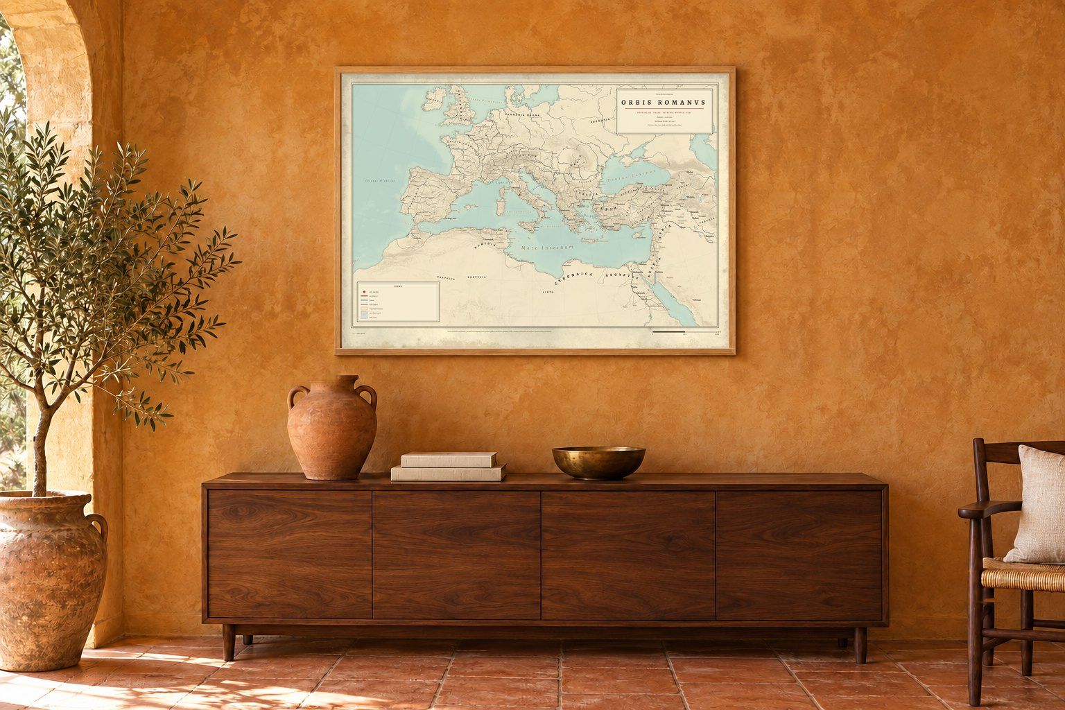
  • Orbis Romanus: map of the Roman Empire with its provinces and roads, full print
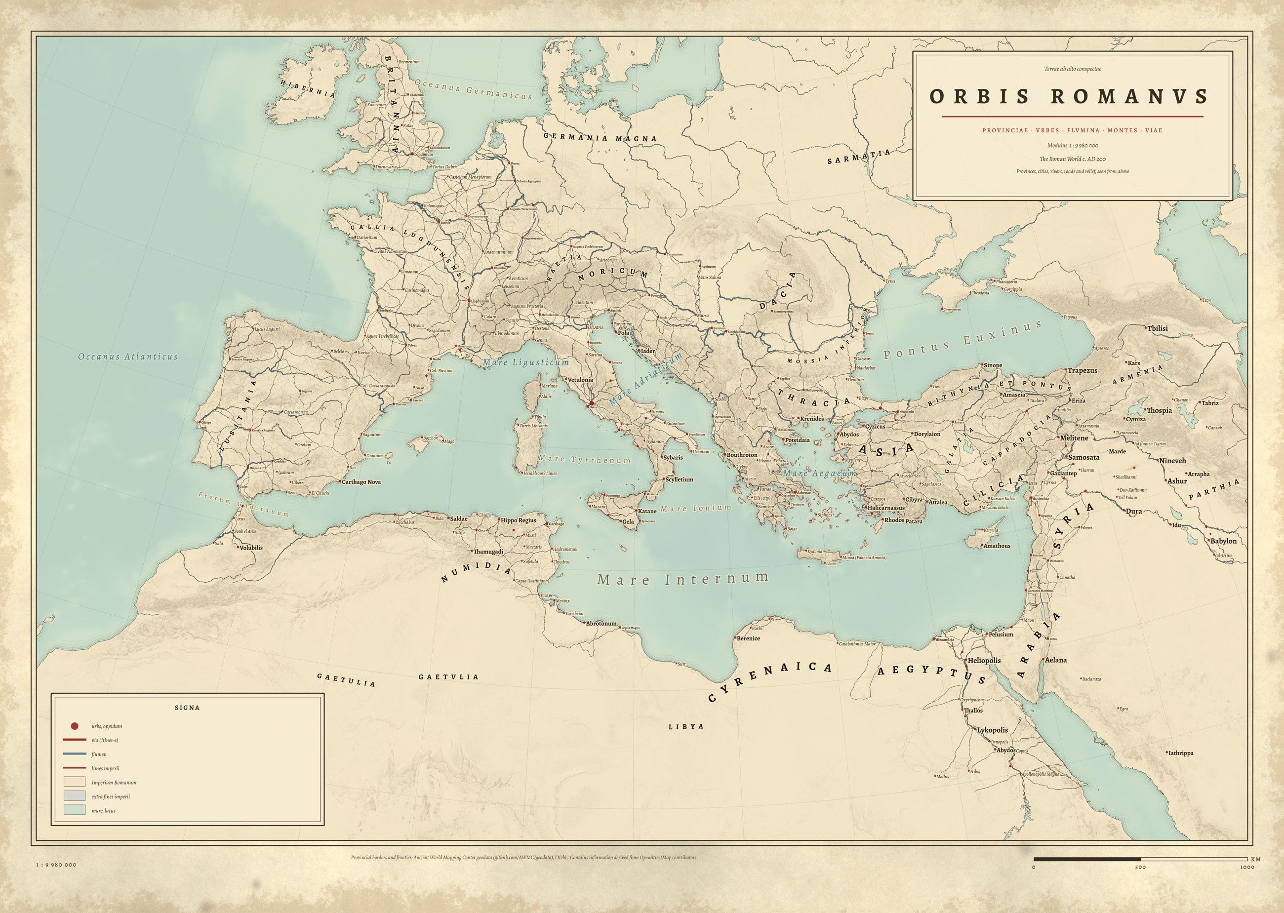
    ORBIS ROMANVSOrbis RomanusThe Roman Empire and its provinces · Coming soon
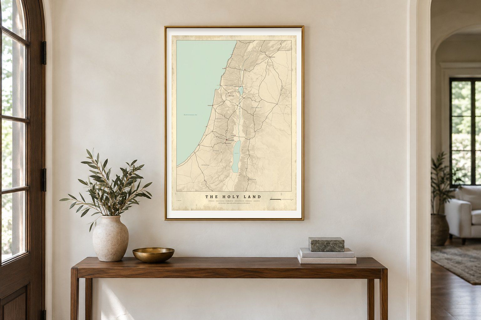
  • The Holy Land in the Time of Jesus map in a gilt frame above a console table in a hall
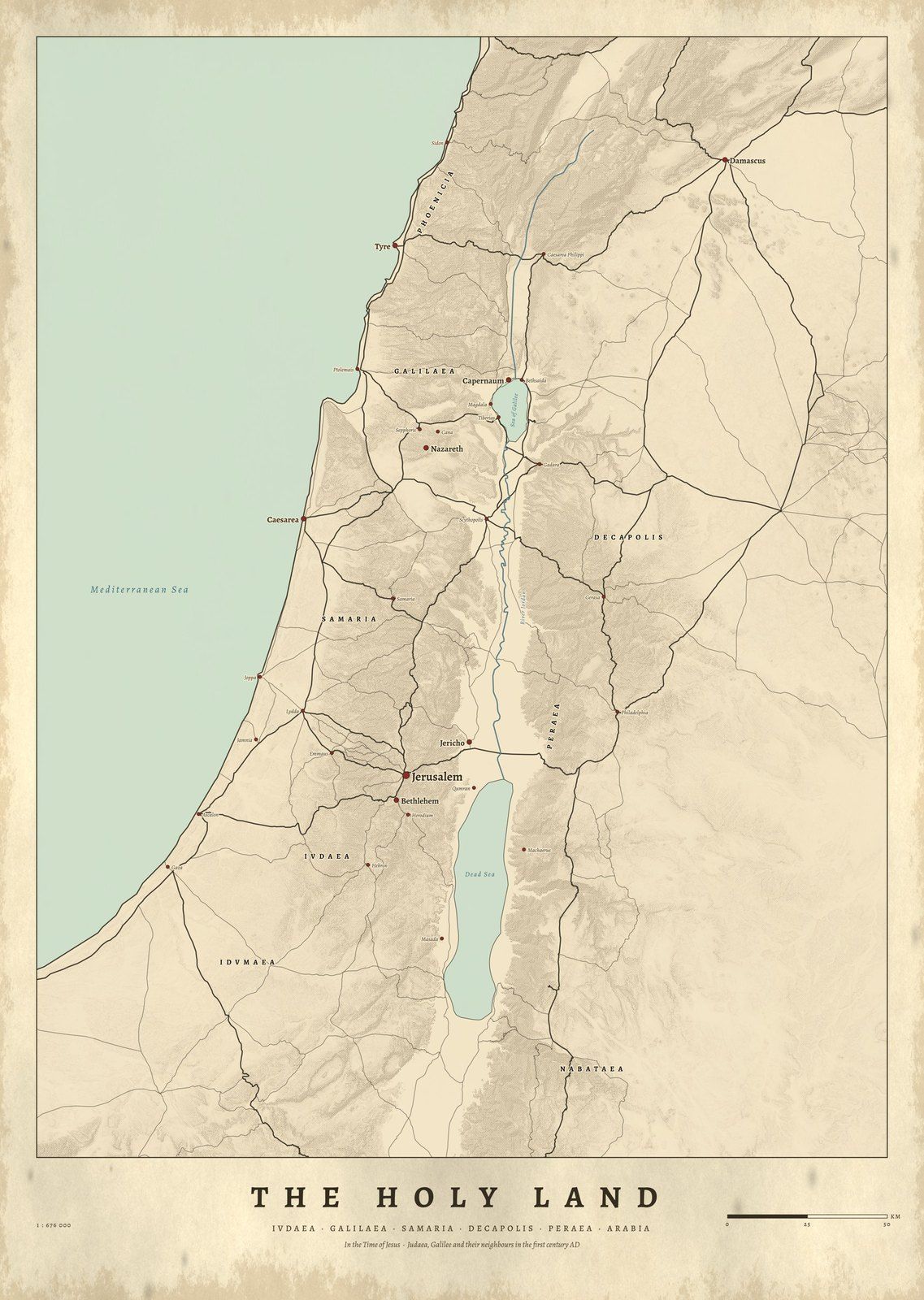
    IVDAEAThe Holy Land in the Time of JesusJudaea, Samaria and Galilee, c. AD 30 · Coming soon
  • The Julio-Claudian family tree framed in black in a quiet stone-grey gallery room
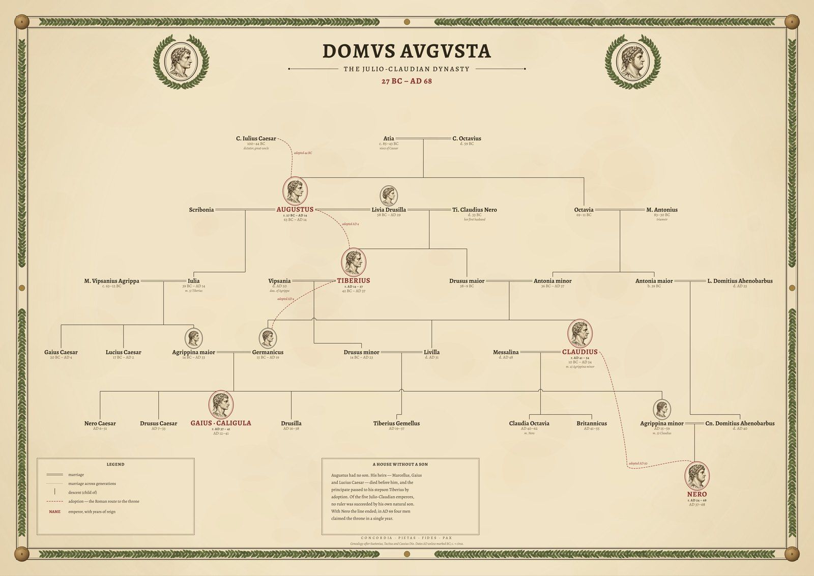
    DOMVS AVGVSTAThe Julio-ClaudiansFamily tree, 27 BC – AD 68 · Coming soon
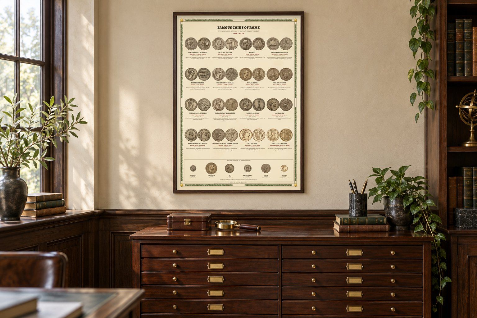
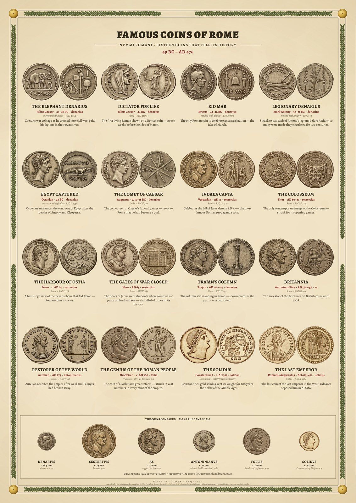
  • Famous Coins of Rome: sixteen engraved Roman coins, full print
    NVMMI ROMANIFamous Coins of RomeSixteen coins, engraved · Coming soon
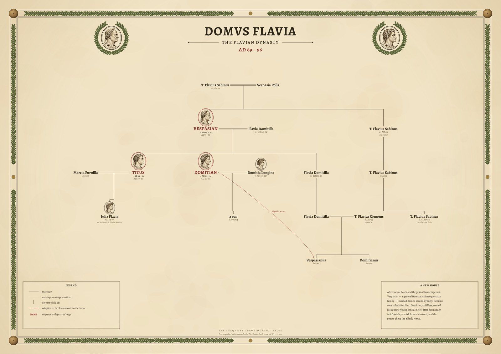
  • Flavian dynasty family tree poster, full print
    DOMVS FLAVIAThe FlaviansFamily tree, AD 69–96 · Coming soon
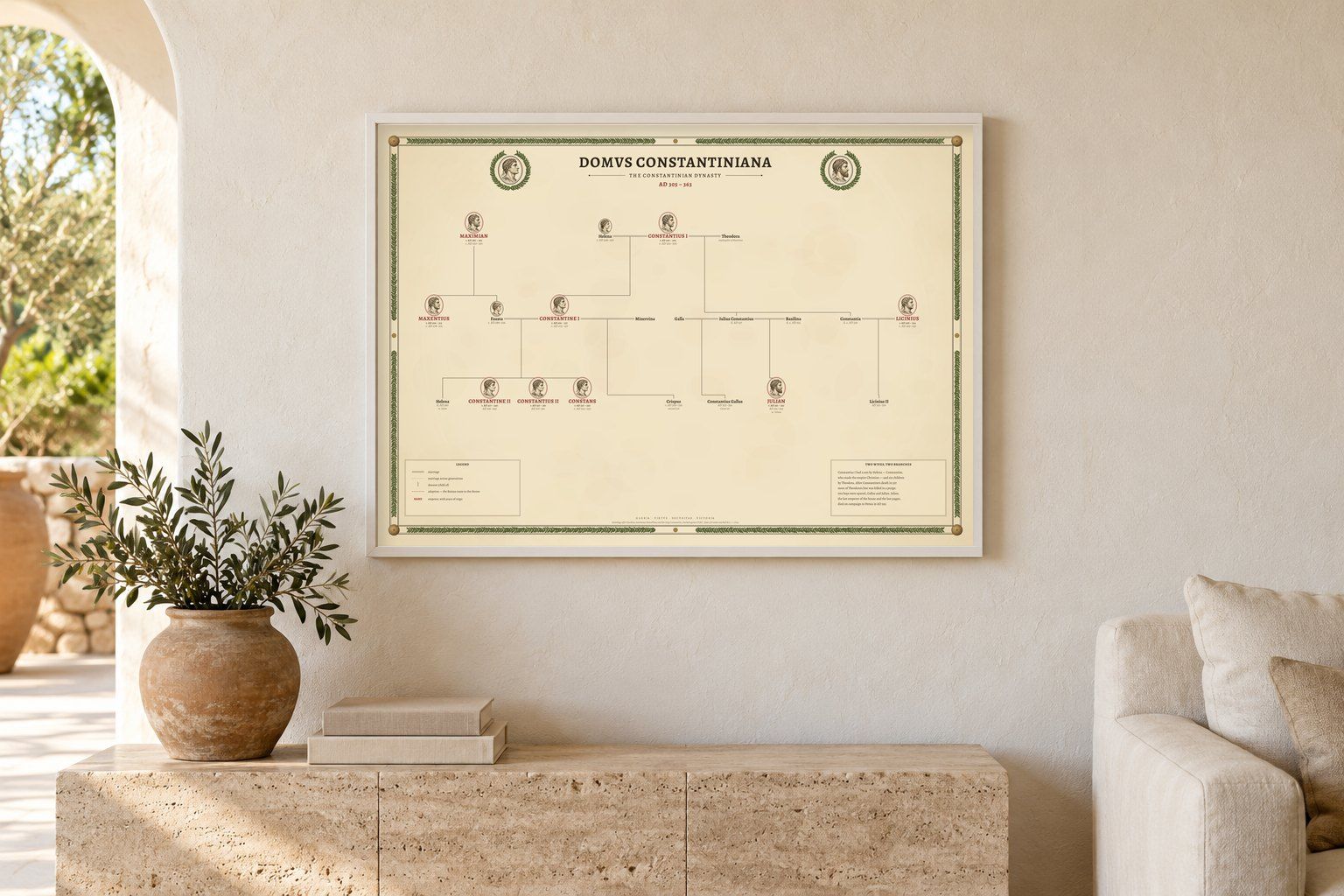
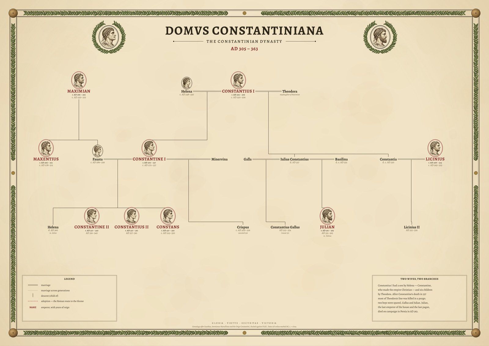
  • Constantinian dynasty family tree poster, full print
    DOMVS CONSTANTINIANAThe House of ConstantineFamily tree, 4th century AD · Coming soon
About this gallery

Roman Empire map posters, drawn from research data

All Roads Lead to Rome maps the 299,171 km of road the Itiner-e project has identified for the empire around AD 150, every segment graded by how certain historians are of it. Orbis Romanus sets the whole empire on one atlas sheet with its provinces, frontier and Latin place names.

The Holy Land in the Time of Jesus shows Judaea, Samaria and Galilee with the towns of the Gospels and the Roman roads between them. Famous Coins of Rome engraves sixteen coins as plates in a numismatic catalogue, and three family trees follow the Julio-Claudian, Flavian and Constantinian dynasties, every link checked against Wikidata.

Place names come from the Pleiades gazetteer, coastlines and rivers from Natural Earth and the relief from Copernicus satellite elevation. Every source is credited on the product page.

Questions about these maps

Are these reproductions of old maps?

No. Each map is drawn new from research data (road and trail surveys, battle records, gazetteers and satellite elevation) and engraved in the manner of an 1889 atlas. Nothing is copied from an old map, and nothing on it is invented.

How accurate is the Roman roads map?

The roads come from Itiner-e, a 2025 research dataset that maps every Roman road known to scholars. The legend shows how sure historians are of each one: about 2.7% of the length is certain, about 89.8% conjectured and about 7.4% hypothetical.

How are the prints made and shipped?

Each print is made to order by our partner Gelato at a printer near the delivery address, in the United States or in Europe, on archival matte paper. Framed prints arrive ready to hang. Production takes 2–5 business days; the delivery estimate for your address is shown at checkout.

Printed near you
Made to order by our partner Gelato in the US and Europe
Archival paper
Museum-quality matte stock, framed or unframed
Sources credited
Every dataset and licence named with the print
Drawn from data
Not AI-generated maps, not reproductions
Cartouche Maps seal: Cartouche Maps, drawn from data